
Jaguari Record
A tax checkpoint on the banks of the Jaguari helps explain the territorial formation of the region.
From the banks of the Jaguari River to downtown streets, from dances at the Literary Club to the arrival of the Fernão Dias Highway. A journey through places that changed — and stories that remain recognizable.
This page was designed as a municipal album in constant construction. The texts present milestones and places from Extrema’s history; old and current photographs are uploaded directly by the Department of Culture through the admin panel.
Key milestones to understand how the territory, settlement and city changed in scale.
A tax checkpoint on the banks of the Jaguari helps explain the territorial formation of the region.
The earliest known reference to residents of the “Bairro da Extrema”.
Authorization for the chapel strengthens the settlement that would grow around faith and community life.
Santa Rita da Extrema is elevated to parish status.
On September 16, the municipality of Santa Rita da Extrema is born.
A century-long story of dances, gatherings and culture begins.
The municipality officially adopts the name Extrema.
Extrema is elevated to city status.
Program records preserve the memory of cinema and local leisure.
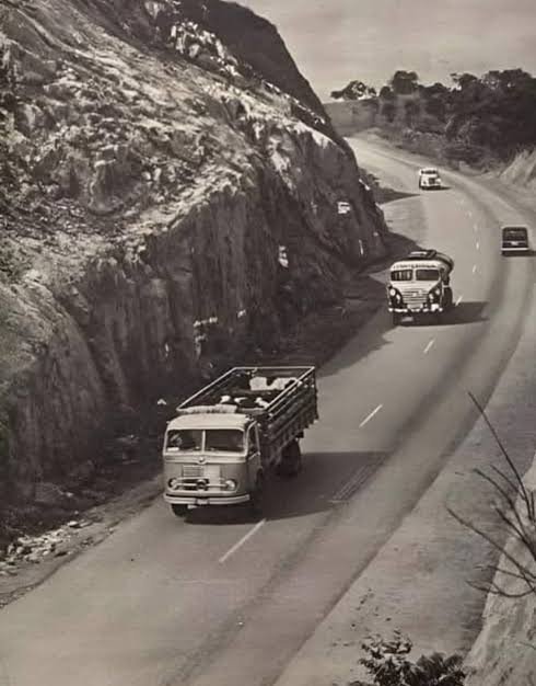
The former BR-31 brings Extrema closer to major urban centers and changes its dynamics.
Industry, urbanization and new roads accelerate changes in the landscape.
The duplication of BR-381 strengthens regional and economic connections.
A modern city that continues to recognize the marks left by those who came before.
Square, church, street, club, cinema, highway. Each place below tells a different part of Extrema’s formation without repeating the same story twice.
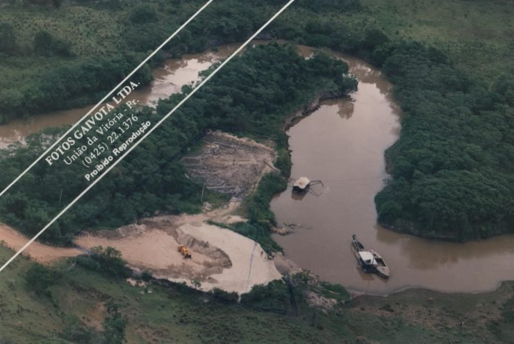 1764
Before the city existed, the banks of the Jaguari were already a strategic place for passage, taxation and territorial disputes.
In 1764, Luís Diogo Lobo da Silva, governor of the Captaincy of Minas Gerais, ordered a tax checkpoint to be established on the banks of the Jaguari River. The measure sought to affirm Minas Gerais jurisdiction north of Morro do Lopo and control the routes used by people, goods and gold. This movement helps explain the formation of the territory that, decades later, would give rise to Extrema.
A baptism record from 1788 is the earliest known reference to residents of the “Bairro da Extrema”.
On December 26, 1788, a baptism record made at the parish church of Nossa Senhora da Conceição in Camanducaia mentioned parents living in the “Bairro da Extrema”. The document is one of the earliest clues to a population nucleus in the region and shows that the name Extrema was already in use long before municipal emancipation.
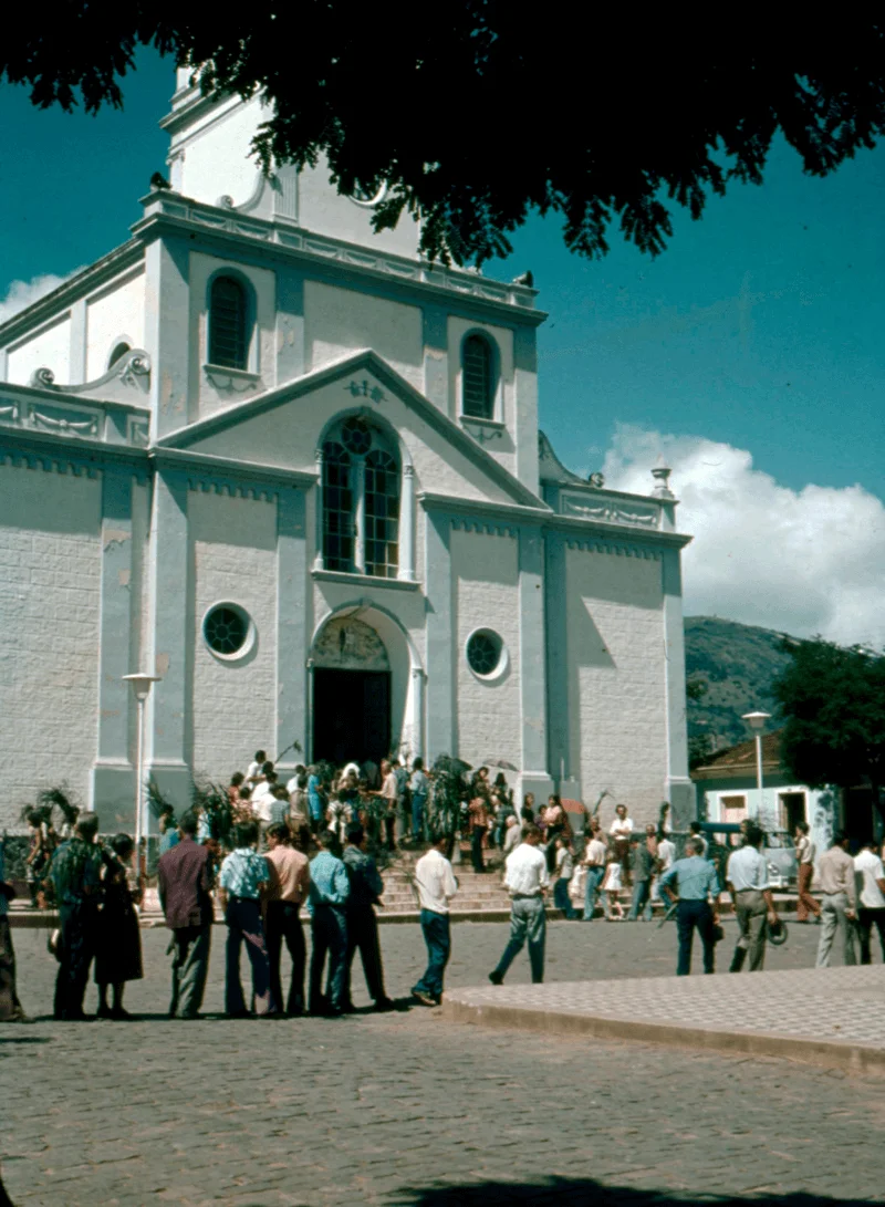 1832
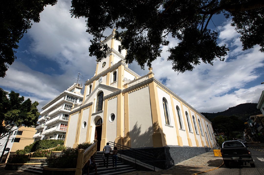 Current image uploaded by the Department of Culture
Authorization to build the chapel of Santa Rita de Cássia marked a new stage in the consolidation of the settlement.
In August 1832, the diocesan authority of the Diocese of São Paulo granted farmer José Alves permission to build a chapel dedicated to Santa Rita de Cássia. Around religious life and the church, the settlement gained new references for community life, identity and organization.
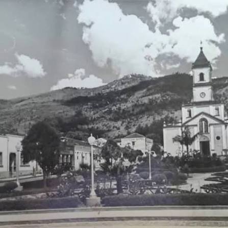 1871 • early 20th century
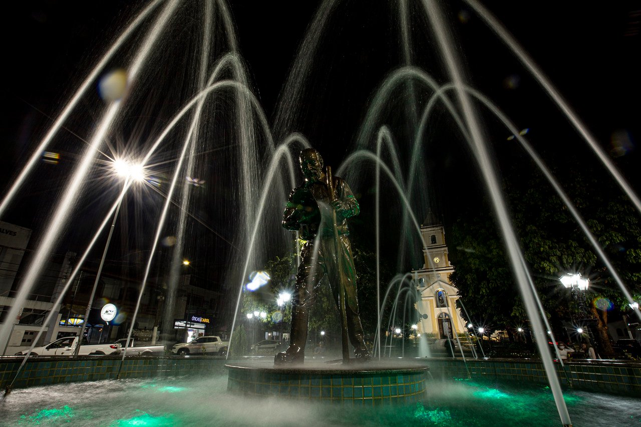 Current image uploaded by the Department of Culture
Around the parish church, homes, shops, celebrations and gatherings helped shape the urban nucleus of old Santa Rita da Extrema.
In 1871, Santa Rita da Extrema was elevated to parish status. Records from the early 20th century preserve images of the Parish Church, its square and the developing downtown area. More than a religious setting, the square became a place for gatherings, festivities and everyday life.
Political emancipation in 1901 opened a new chapter, followed by the name Extrema in 1915 and city status in 1925.
By State Law No. 319 of September 16, 1901, Santa Rita da Extrema achieved political and administrative emancipation. In 1915 the name was simplified to Extrema, and in 1925 the municipality was granted city status. These milestones help trace the transition from a rural and religious nucleus to a changing municipal center.
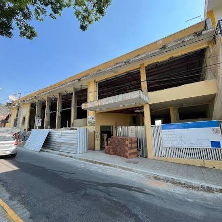 1905 ↔ today
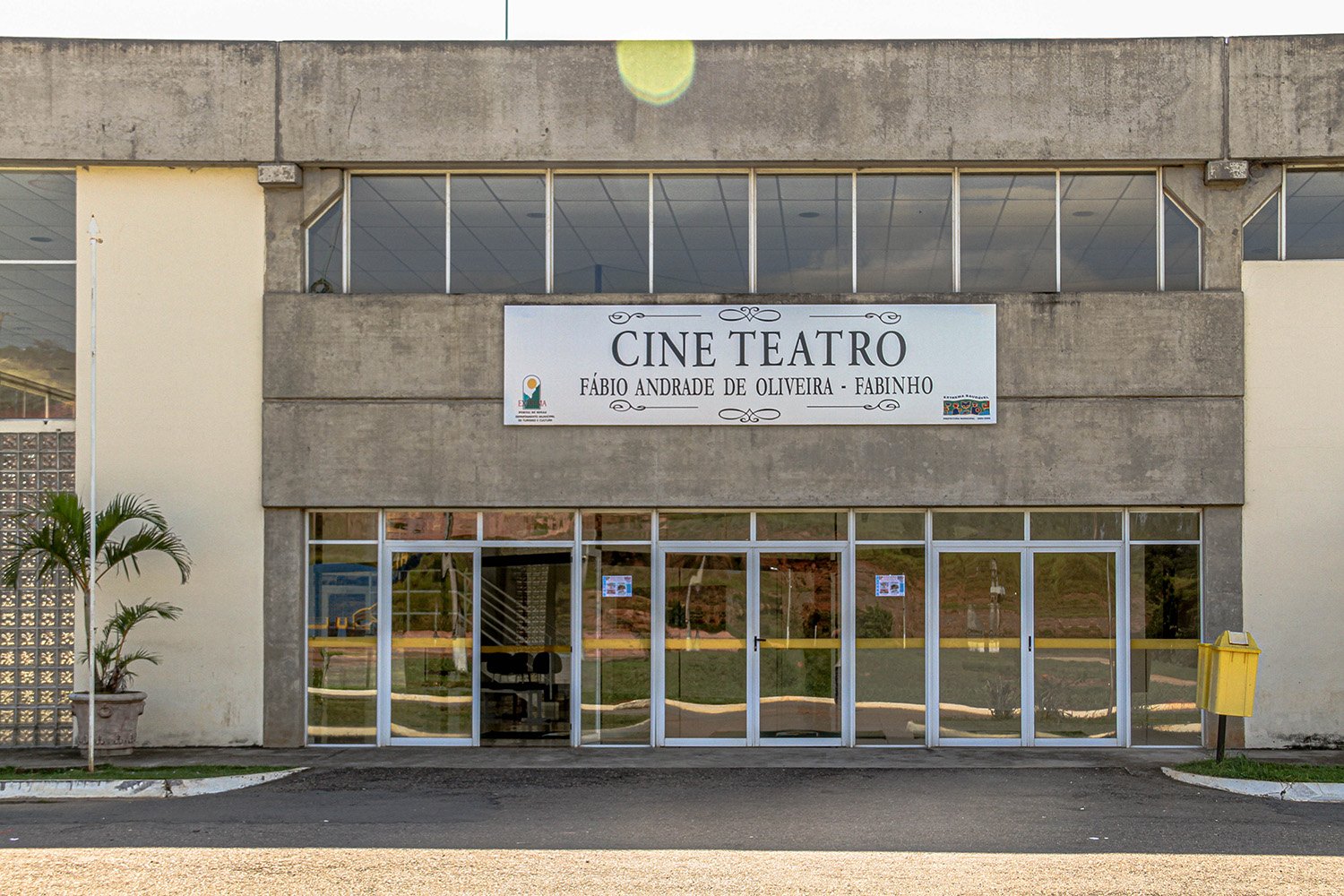 Current image uploaded by the Department of Culture
Founded in 1905, the Literary Club crossed generations as a stage for dances, celebrations, gatherings and cherished memories.
The Clube Literário Recreativo de Extrema was founded in 1905 and became one of the most symbolic spaces in the municipality’s social and cultural life. Photographs preserve dances from the 1960s and 1970s, while the building went through different phases and reconstructions. Revitalized and reopened in 2026, the venue continues to connect memory with new gatherings.
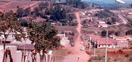 Early 20th century
 Current image uploaded by the Department of Culture
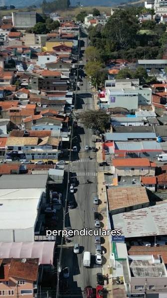
Today’s João Mendes Street appears in old records that reveal the scale, architecture and pace of a smaller Extrema.
The municipal historical collection preserves views of present-day João Mendes Street from the early 20th century. Comparing those records with the street today reveals how façades, sidewalks, traffic and downtown occupation changed as the city grew.
 1911 • 1930–1990 ↔ today
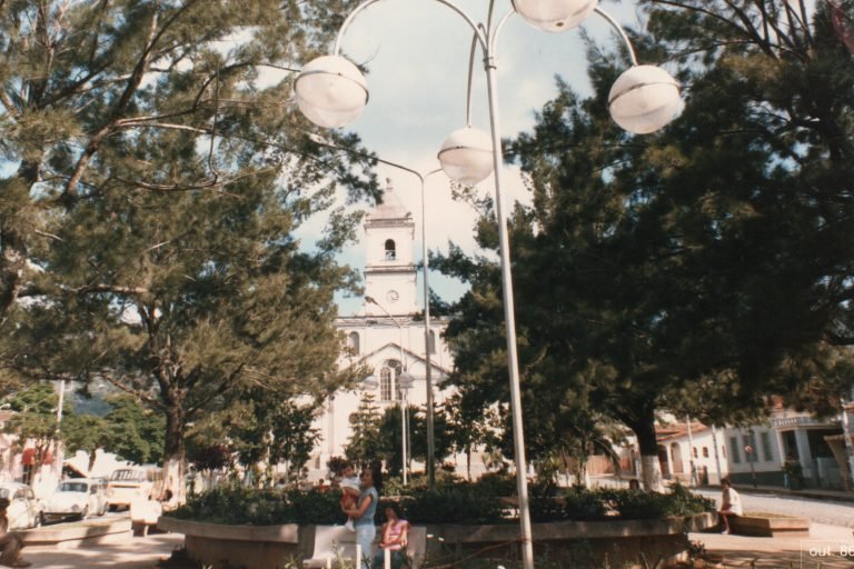
From the old church square to the plaza we know today, downtown remained a stage for faith, commerce, politics, celebrations and encounters.
Historical records show downtown Extrema and Presidente Vargas Square in different decades of the 20th century. The square followed changes in urban design, buildings and uses of the center without losing its role as a gathering place. It is also where many religious, civic and cultural events left marks on local memory.
 1958
 Current image uploaded by the Department of Culture
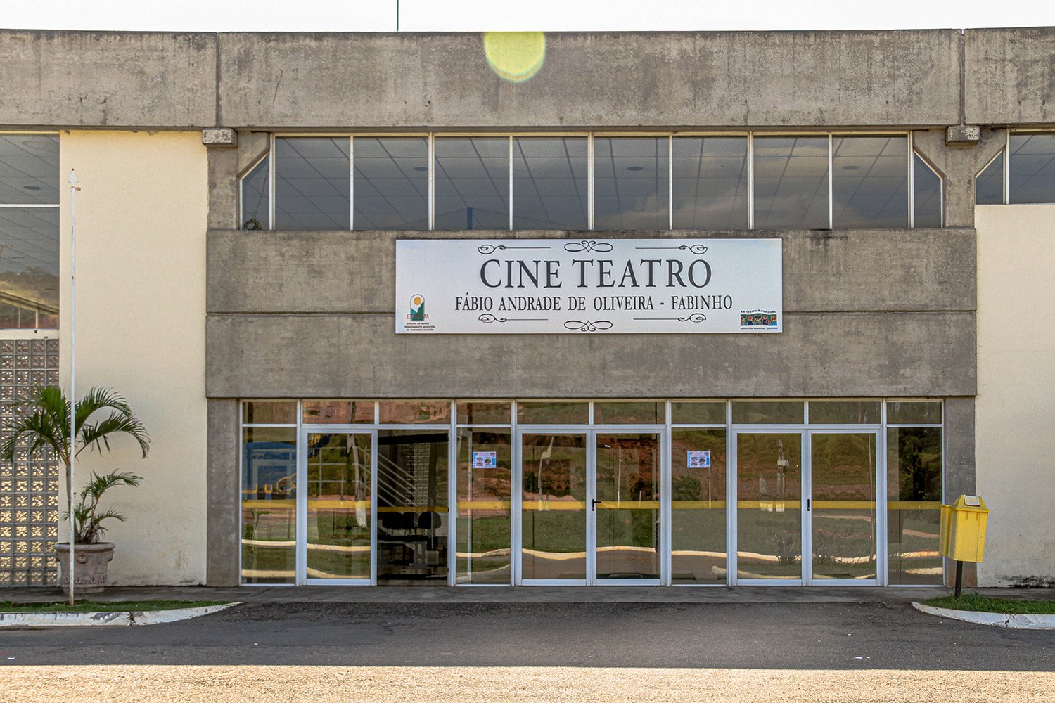
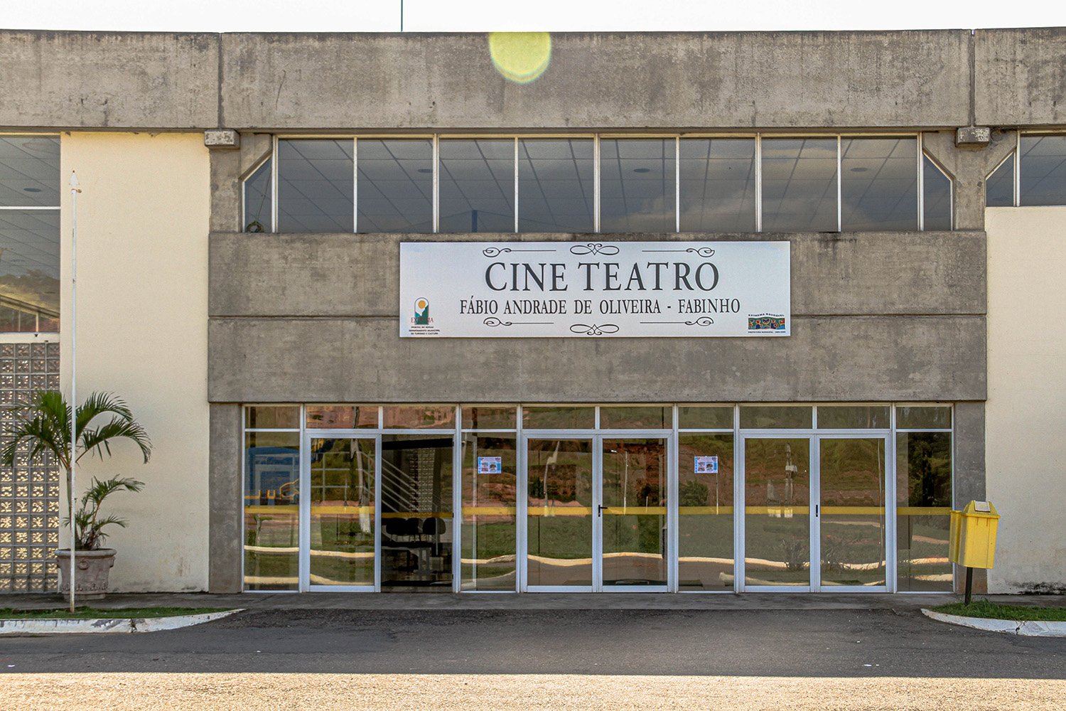
A 1958 Cine Extrema program poster records the presence of cinema in the cultural life of the city.
A surviving Cine Extrema program from 1958 reveals a city connected to the forms of entertainment that defined the period. The record tells not only the history of a movie theater, but also the leisure habits, gatherings and cultural repertoire of a generation of Extrema residents.
 1961 ↔ 2005
 Current image uploaded by the Department of Culture
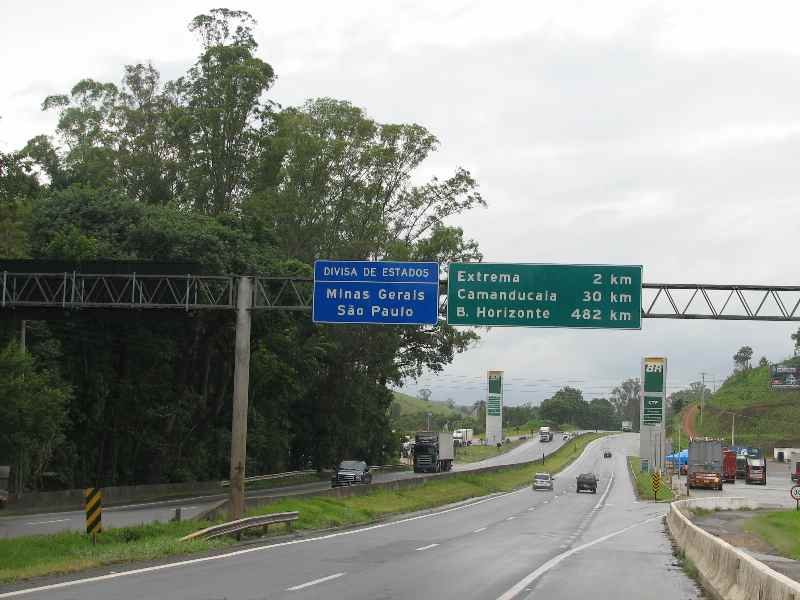
Completion of the former BR-31 in 1961 changed Extrema’s relationship with the region; duplication of BR-381, completed in 2005, expanded that transformation.
The opening of the highway, now known as Fernão Dias, marked a turning point in the movement of people, goods and opportunities. Extrema became more intensely connected to major urban centers and, in the following decades, tourism, industry and services reached new scales. The highway is an essential part of Extrema’s contemporary history.
 1975 ↔ today
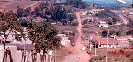
Comparisons between 1975 and recent times show how the same street can preserve the marks of urban growth.
Bragança Street is a good place to observe the transformation of the urban landscape: paving, buildings, traffic and commercial occupation changed profoundly, while the street layout and emotional landmarks still make the place recognizable. This memory was designed to receive an old and a current photograph side by side through the admin panel.
Olegário Maciel Street appears in downtown records and connects the history of homes, commerce and the Literary Club itself.
Records from the final decades of the 20th century help trace the transformation of Olegário Maciel Street. The road contains different layers of Extrema’s urban and social history, including the presence of the Literary Club, and allows visual comparisons between yesterday’s city and today’s landscape.
It continues in celebrations, families, streets, shops, schools, music and in the stories carried by every person from Extrema. This archive can keep growing through the admin panel.
Family photographs, streets, schools, celebrations, shops, construction works and events help rebuild the everyday history of the municipality.